May 092013
 

Introduction :
The Death Valley National Park is located in the state of California and small portions of it in Nevada in USA. The Death Valley National Park is a place of many extremes with its harsh landscapes of desert, sand dunes and steep mountain ranges. The world highest temperature of 56.7 deg celsius was recorded right at the Death Valley National Park together with the lowest elevation in North America at Badwater Basin. A geological phenomenon can also be seen at the Racetrack Playa where rocks move in long tracks along the valley floor without any human intervention. The national park measures 13630 square km in area with the Death Valley itself measuring over 210 km long.

One of the many finely craved gates around the area
The Devil’s Golf Course located in the Mojave Desert
Image attribution to gabri_micha @ Flickr

One of the many finely craved gates around the area
Road towards the Telescope and Wildrose peaks
Image attribution to adombrowski @ Flickr

The overall harsh landscape of the Death Valley National Park
Image attribution to adombrowski @ Flickr

An abandoned gold mine left during the California gold rush
Image attribution to maveric149 @ wiki

History :
The native American cultures were believed to have been living in the area for the last 10,000 years and traces of human existence were proven up to 3000 BC with the petroglyphs above Mesquite Springs. The California Gold Rush brought the first Europeans to the Death Valley where mines and wagons can still be found today. Tourism began in the 1920s and the region was declared as a national monument in 1933 before its expansion into a national park in 1994.

The overall harsh landscape of the Death Valley National Park
Proof of human existence at the Mesquite Springs
Image attribution to Complex01 @ wiki

The Racetrack Playa is known for its geological phenomenon of moving stones
Image attribution to sarahkatrina @ Flickr

The Badwater Basin is the lowest point in the whole of North America
Image attribution to will1972 @ Flickr

Abandoned radiator tank in the desert

Getting there :
The nearest airport to the Death Valley National Park is the McCarran International Airport (LAS) which is the principal airport serving the state of Las Vegas and is approximately 260 km away from the center of the national park.
May 052013
 

Introduction :
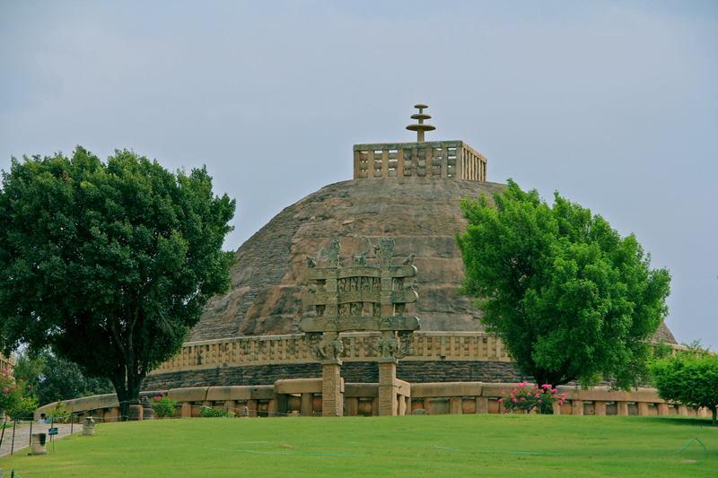
Sanchi is a village located in the Raisen District in the state of Madhya Pradesh in India and is famous for the spread of Buddhist stupas and monuments around the area. The Great Stupa is the oldest stone structure in all of India and the signature attraction in Sanchi together with many other monolithic gates and pillars, palaces, temples that were designated as a World Heritage Site by UNESCO since 1989. The Buddhist stupas and monuments is the oldest existing in the world and was a major Buddhist centre of India till the 12th century A.D

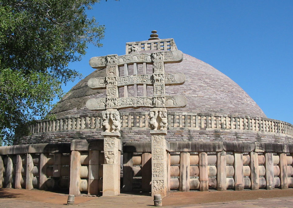
The Great Stupa in Sanchi is also the oldest stone structure in India

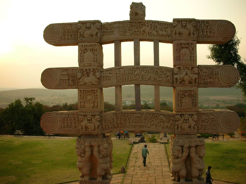
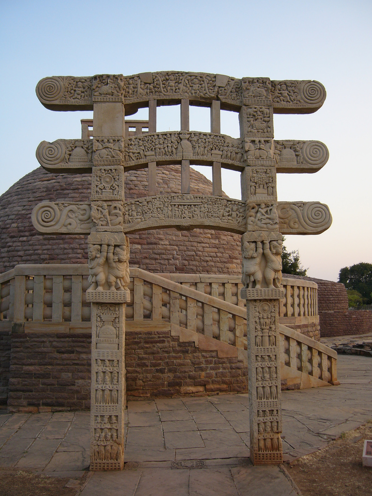
One of the many finely craved gates around the area
Image attribution to lenchik @ Flickr

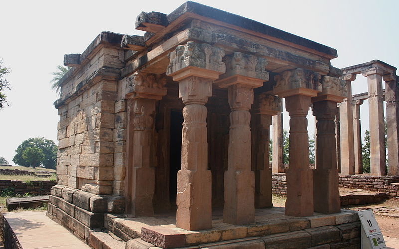
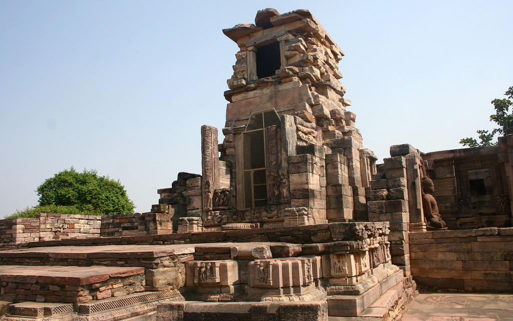
Temple 11 is built during the Gupta period
Image attribution to Nagarjun Kandukuru @ Flickr

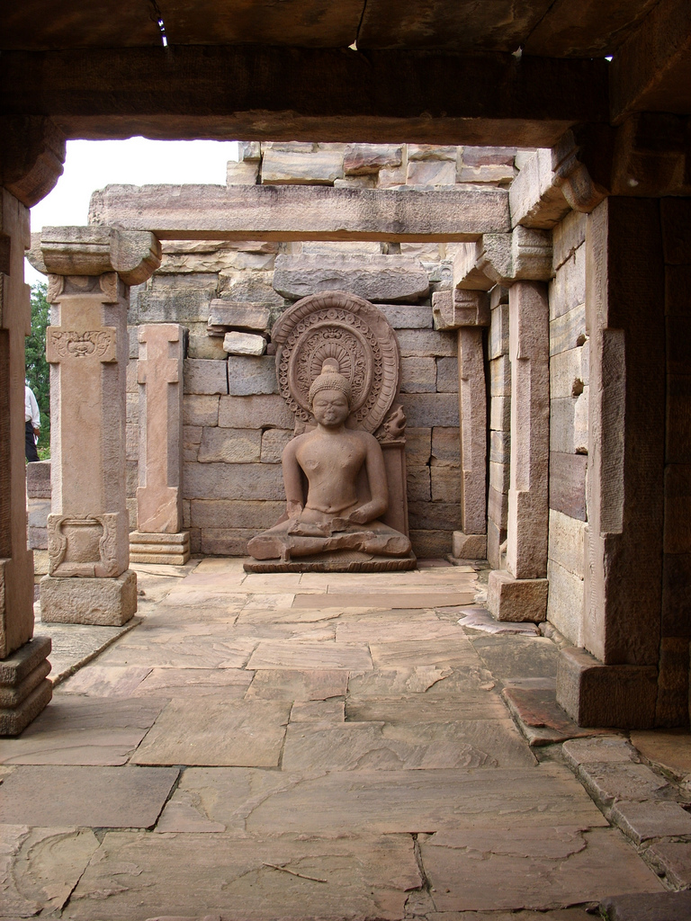
A sitting Buddha statue inside one of the temples
Image attribution to mafate69 @ Flickr

History :
The Great Stupa in Sanchi was built during the 3rd century BC by Emperor Asoka the Great with the other monuments built during the 2nd and 1st centuries BC. The Great Stupa was vandalized at some point during the 2nd century B.C when the Sunga emperor overthrew the Mauryan Empire but was later rebuilt by his son. Sanchi has been a major Buddhist centre since it was built until it was abandoned during the 12th century. The first European discovery of the Sanchi monuments was in 1818 by a British officer and the site was looted by the archeologists and treasure hunters until 1881 when resoration work was carried out.

Another closer look at the stupa
Image attribution to eileendelhi @ Flickr

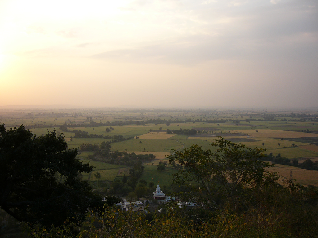
Sunset in Sanchi
Sunset in Sanchi
Image attribution to lenchik @ Flickr

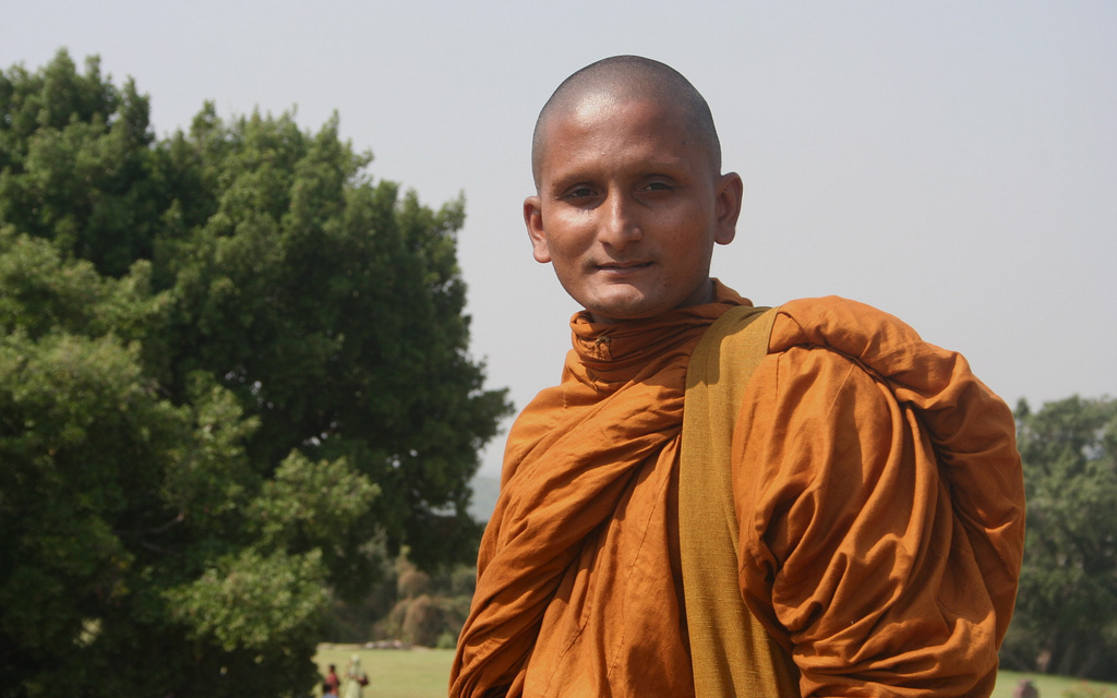
Ochre-robed monk pilgrim
Image attribution to nagarjun @ Flickr

One of the bigger monolithic pillar gates
Image attribution to abhinavsaxena @ Flickr

Temple 45 was built in 2 phases and completed in the 10th century
Image attribution to nagarjun @ Flickr

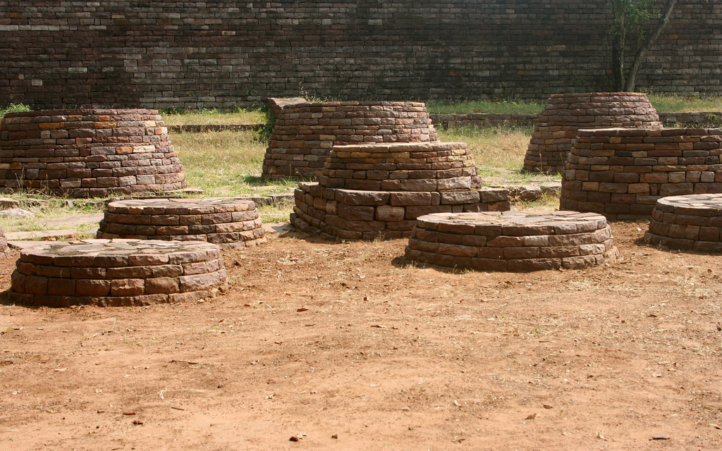
Smaller stupas around Sanchi
Image attribution to nagarjun @ Flickr

Getting there :
The nearest airport to Sanchi is the Raja Bhoj Airport (BHO) serving the city of Bhopal and is 67 km away by bus from the Buddhist Stupas and Monuments in Sanchi

May 012013
 

Introduction :
The Fuji-Hakone-Izu National Park is located in the Yamanashi, Shizuoka and Kanagawa Prefectures in Central Honshu of Japan. The national ark covers 1227 square kilometres in area with its points of interest dispersed into 4 different areas which are the Mount Fuji area, Hakone area, Izu Peninsula and the Izu Islands. The Fuji-Hakone-Izu National Park is the most visited national park in the whole of Japan due to its ease of accessibility from Toyko and a variety of geographic features, scenic mountains and lakes.

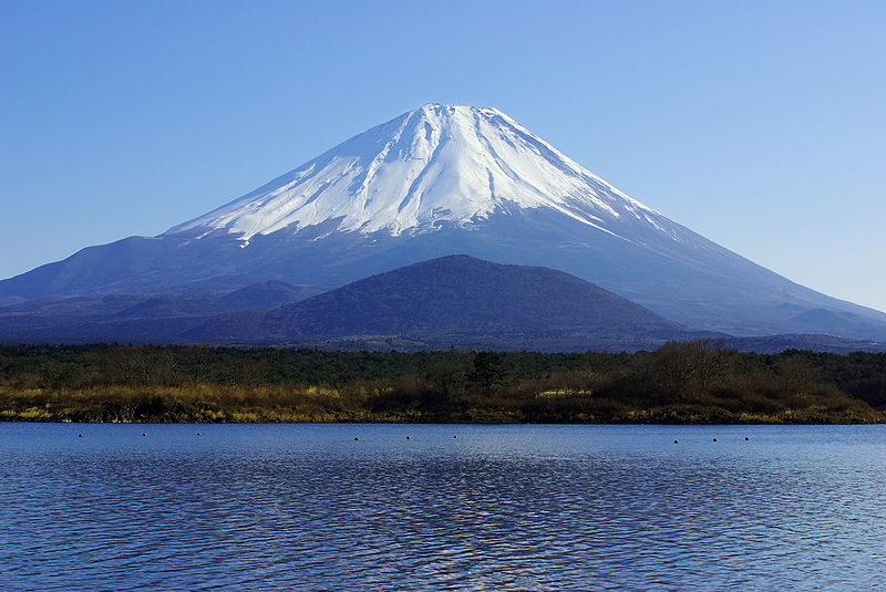
Mount Fuji and the five lakes
Image attribution to NNE @ Wiki

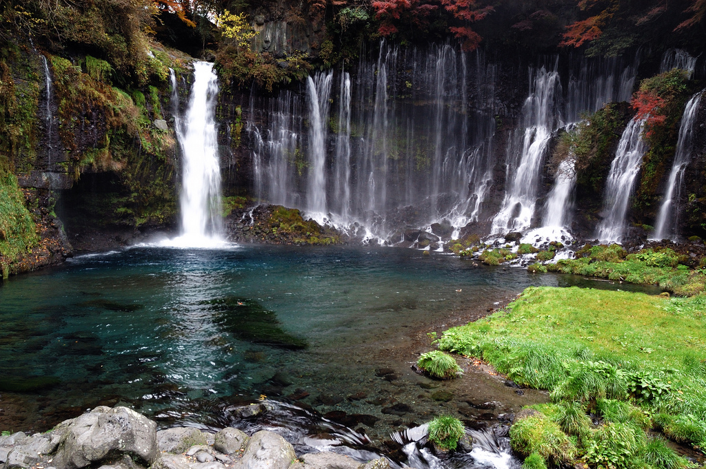
OThe Shiraito Falls is scared to the Fuji cult
The Shiraito Falls is scared to the Fuji cult
Image attribution to fisheystream @ Flickr

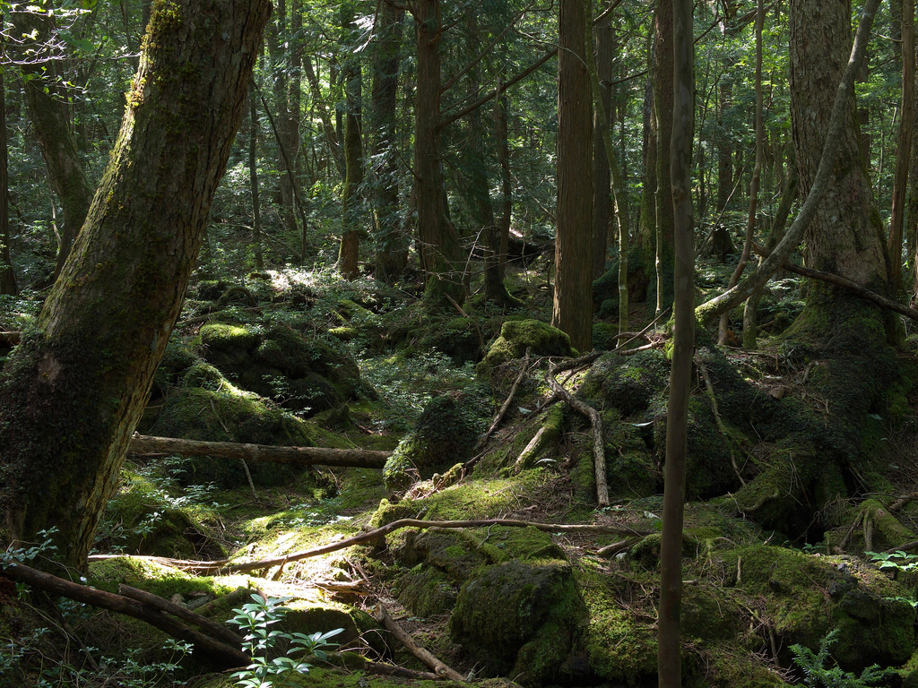
The Aokigahra Forest also known as the Sea of Trees
Image attribution to lumen850 @ Flickr

Some attractions :
Mount Fuji – Highest mountain in Japan at 3776 metres with an attractive snow capped peak. Mountain Fuji is one of the “Three Holy Mountains” of Japan and perhaps the most famous landmark that represents Japan.

Fuji Five Lakes – Namely Lake Kawaguchi, Motosu, Saiko, Shoji and Yamanaka located at the base of Mount Fuji formed by previous eruptions. This area is also famous for its udon noodles.

Shiraito Falls – A sacred falls under the Fuji cult and is protected as a Japanese Natural Monument.

Aokigahara Forest – Also known as the Sea of Trees, Aokigahara is a 35 square kilometres forest that lies at the northwest base of Mount Fuji. While it is a popular tourism spot, it is also the most popular place of suicides in Japan and the 2nd most popular in the World.

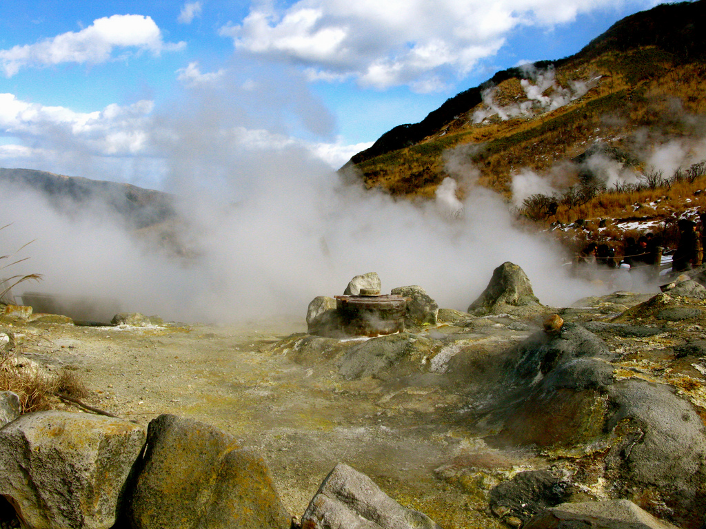
Owakudani – Known as the “Great boiling Valley” , the Owakudani is a volcani valley with active sulphur vents and hot springs. Eggs boiled in the valley turns black and is a local speciality there. Eating one of them is said to add seven years to your longevity, but it capped at 2 maximum with a third highly unadvised.

Izu Islands – Group of volcanic islands with beautiful scenic trails with the largest of them being Izu Oshima

The Owakudani is famous for its boiled eggs that turns the outside to black
Image attribution to eeems @ Flickr

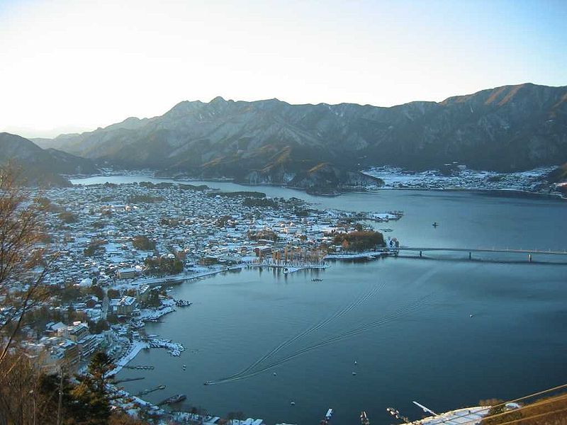
Winter at Lake Kawaguchiko
Image attribution to ChrisMoore @ Wiki

Bontanical gardens of wetlands at Hakone
Botanical gardens of wetlands at Hakone
Image attribution to NEON @ Wiki

History -
The national park was established on February 1936 and was one of the first four national parks in Japan. In 1950, the Izu islands were also added to the park from which it got its present name Fuji-Hakone-Izu National Park. Most of the travel within the park is dominated by Mount Fuji which can be seen from almost anywhere. The name of Mount Fuji is said to originated from a 10th century Japanese tale that came from the word Immortal fushi and also the image of abundant soldiers (shi ji). Actual sources is still unclear to date.

Winter at Lake Kawaguchiko
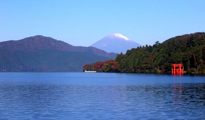
View of Mount Fuji and surroundings from Motohakone
Image attribution to ChrisMoore @ Wiki

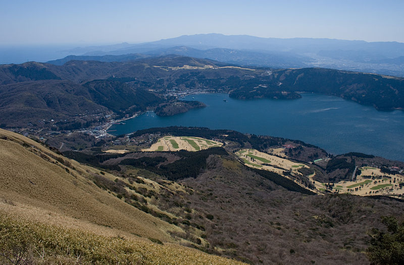
Lake Ashi from Mount Komagatake
Image attribution to E64 @ Wiki

Lake Ashi from Mount Komagatake
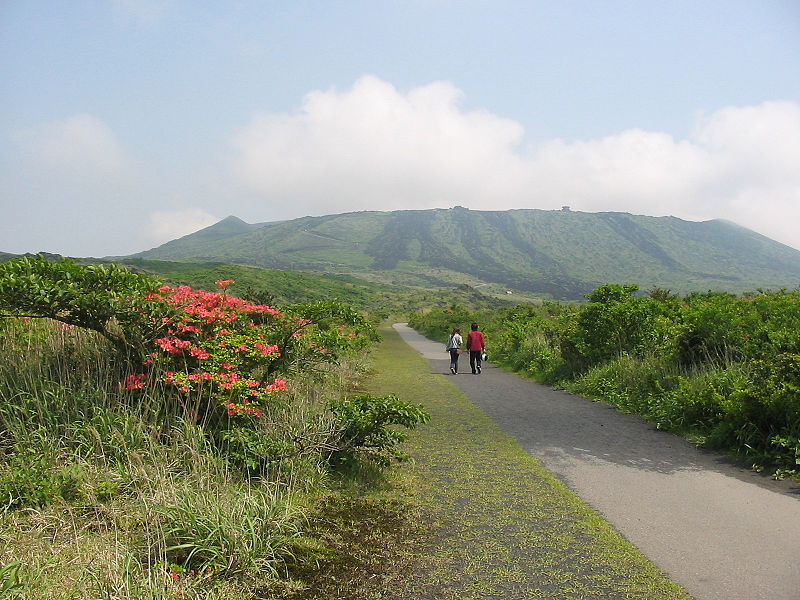
Trail in Izu Oshima with lava flows from 1986 eruption of Mount Mihara
Image attribution to Donners @ Wiki

Lake Ashi from Mount Komagatake
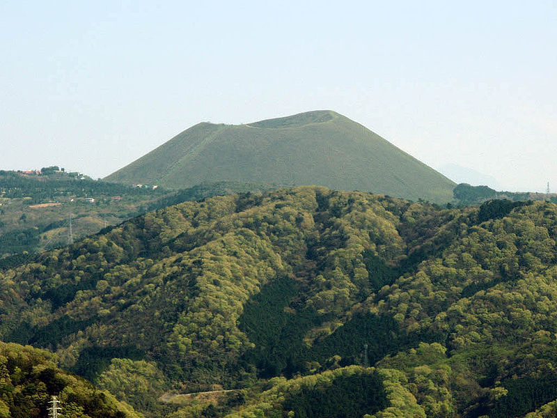
Mount Oomuro is an inactive volcano with a height of 580 metres

Getting there -
The nearest international airport to the Fuji Hakone Izu national park is the Tokyo International Airport (HND) which is also known as the Haneda Airport and serves the Greater Toyko Area of Japan. From Tokyo, it is easily accessible to the national park by shuttle bus or tram with a distance of less than 100 km